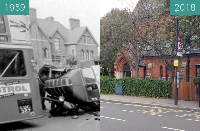
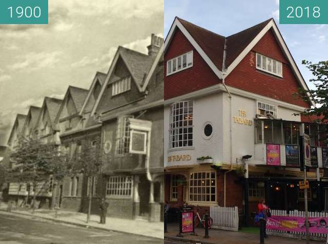
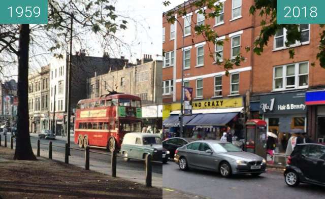
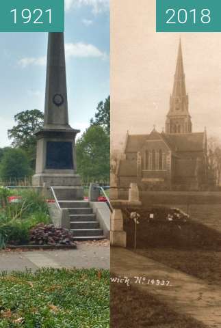
@nwolpert it is the right location look at the church on the far right, its just a lot of the building have been destroyed over the past 100 years and the pavement has changed.
@nwolpert it is the right location look at the church on the far right, its just a lot of the building have been destroyed over the past 100 years and the pavement has changed.
I meant in the map actually (the marker is set at Trafalgar square)
I meant in the map actually (the marker is set at Trafalgar square)
Fetching images...

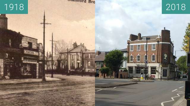

The name may be a corruption of 'stoney ford' or 'sandy ford' by which it was crossed by King Street. Stamford Brook has given its name to the surrounding area between Hammersmith and Chiswick and to local London Underground station, Stamford Brook.
The county of London formed in 1889 was bounded by the westernmost course of Stamford Brook, forming the boundary separating London Boroughs of Hammersmith and Acton in the new county from the Chiswick and Brentford Urban Districts in Middlesex.[1]
By 1900, all six strands of the brook and drainage dykes had been covered over and formed the most useful depressions available in which to site the neighbourhood's sewers, many diversionary surface water drains had been created closer to the surface to drain the catchment basin.[2]