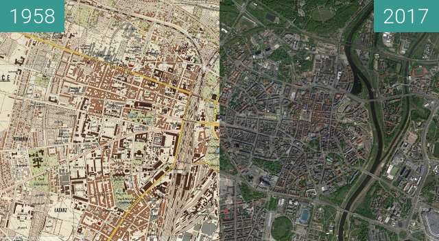
Poznań i okolice 1935 vs OSM
Poznań and its vicinity 1935 vs OSM
© Wojskowy Instytut Geograficzny
POL
near Poznań
© autorzy OpenStreetMap
Click to show map
Fetching images...


Porównanie mapy Wojskowego Instytutu Geograficznego wydanego w 1935 oraz aktualnej mapy OpenStreetMap.
Mapa 1935 ze zbiorów Jagiellońskiej Biblioteki Cyfrowej, wydawca Wojskowy Instytut Geograficzny.
Comparison of the map of the Military Geographical Institute published in 1935 and the current OpenStreetMap map.
Map 1935 from the collection of the Jagiellonian Digital Library, published by the Military Geographical Institute.