Engabreen Glacier
Engabreen Gletscher
© Axel Lindahl / www.nibio.no
NOR
Holandsfjorden
© Oskar Puschmann / www.nibio.no
Lade Bilder...
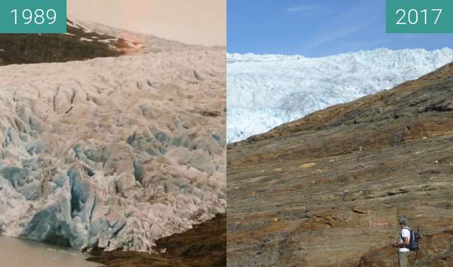
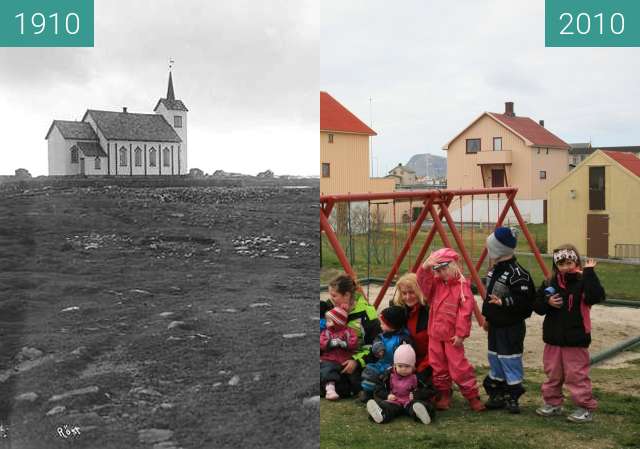
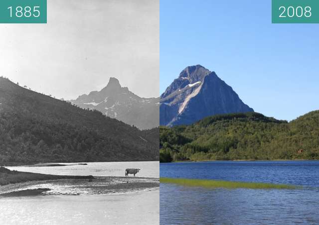
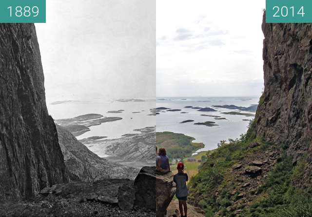
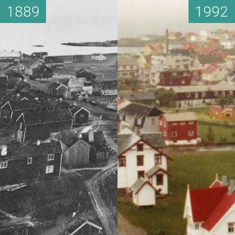
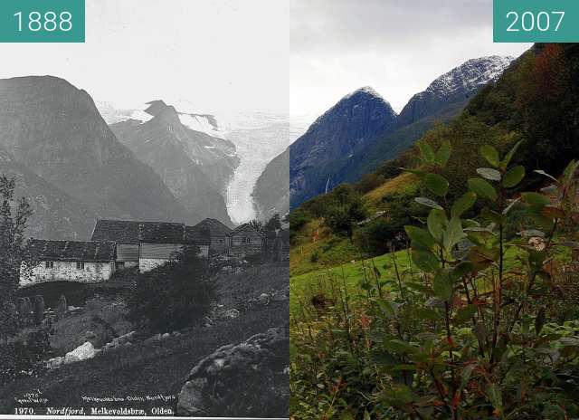
Engabreen Glacier at Holandsfjorden, Nord, in 1889, and again in 2010. Axel Lindahl’s picture of Engabreen from 1889 shows the foot of the glacier, where there was only ice, glacial gravel, water and bare mountainsides in a seemingly cold and hostile landscape. Now, more than 120 years later, the valley has become far more fertile. Birch forest, shore meadows, willow thickets and marshland have established themselves, while the glacier arm has retreated far back up the mountainside.
Engabreen-Gletscher im Holandsfjord, Nord, 1889 und erneut 2010. Axel Lindahls Bild von Engabreen aus dem Jahr 1889 zeigt den Fuß des Gletschers, wo es in einer scheinbar kalten und feindlichen Landschaft nur Eis, Gletscherkies, Wasser und kahle Berghänge gab. Jetzt, mehr als 120 Jahre später, ist das Tal viel fruchtbarer geworden. Birkenwald, Uferwiesen, Weidendickicht und Marschland haben sich etabliert, während sich der Gletscherarm weit oben am Berghang zurückgezogen hat.