Rogalińska Dolina Warty 1935 vs Hipsometria
Rogalińska Dolina Warty 1935 vs Hipsometria
© Wojskowy Instytut Geograficzny
POL
near Poznań
© Główny Urząd Geodezji i Kartografii
Fetching images...
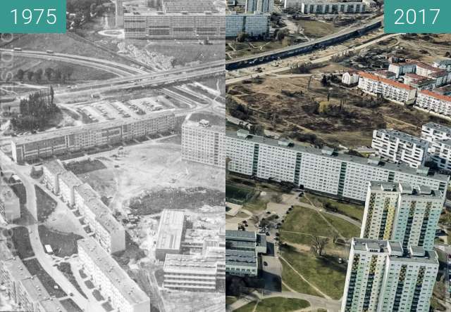
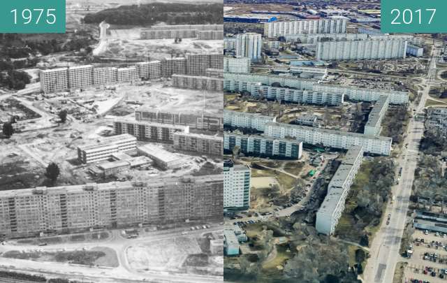
Porównanie mapy Wojskowego Instytutu Geograficznego wydanego w 1935 oraz hipsometrycznej rzeźby terenu w obszarze pradoliny Warty na południe od Poznania.
Mapa 1935 ze zbiorów Jagiellońskiej Biblioteki Cyfrowej, wydawca Wojskowy Instytut Geograficzny.
Mapa hipsometryczna © Główny Urząd Geodezji i Kartografii
Comparison of the map of the Military Geographical Institute published in 1935 and the hypsometric relief of the land in the area of the Warta ice-marginal valley south of Poznań.
Map 1935 from the collection of the Jagiellonian Digital Library, published by the Military Geographical Institute.
Hipsometric map © Central Office of Geodesy and Cartography